
| This Afternoon  Sunny |
Monday Sunny |
Tuesday Sunny |
Wednesday Sunny |
Thursday Slight Chance Showers And T-Storms |
Friday Slight Chance Showers And T-Storms |
Saturday Slight Chance Showers And T-Storms |
|
| High: 88 °F | High: 88 °F | High: 88 °F | High: 87 °F | High: 87 °F | High: 87 °F | High: 87 °F | |
Tonight Mostly Clear |
Monday Night Mostly Clear |
Tuesday Night Mostly Clear |
Wednesday Night Mostly Clear |
Thursday Night Mostly Clear |
Friday Night Mostly Clear |
Saturday Night Mostly Clear |
|
| Low: 57 °F | Low: 55 °F | Low: 55 °F | Low: 55 °F | Low: 55 °F | Low: 57 °F | Low: 55 °F | |
Ben's WX Summary
- Updated: Sunday @ 11:45am
We will experience another very warm day out there today as a strong 597dm ridge of high pressure remains anchored over the region, pushing temperatures 10+ degrees above average. We even broke our record high yesterday of 91 degrees. Expect similar conditions again today with a gradual cooling trend anticipated through next week. Expect mostly sunny skies today with highs in the upper 80s to around 90-degrees. We'll pick up southwest winds 5-15 mph during the afternoon with an occasional gust near 20 mph. Continued warm early next week as highs peak in the upper 80s Monday and Tuesday, cooling to the mid-80s during the second half of the week. As high pressure flattens out around the middle of next week, it will shift off to our east and elongate, resulting in an east to southeasterly flow across Southern California. This could draw monsoon moisture into the region for an increased risk of afternoon convection, with isolated thundershowers possible later in the week.
| Current Conditions | Wind | Rain | Outlook | ||||||||||||||||||||||||||||||||||||
|
|
|
|
||||||||||||||||||||||||||||||||||||
| Humidity & Barometer | Snowfall | Moon | |||||||||||||||||||||||||||||||||||||
|
|
|
|||||||||||||||||||||||||||||||||||||
| UV Index | Solar Radiation | ||||||||||||||||||||||||||||||||||||||
|
|
||||||||||||||||||||||||||||||||||||||


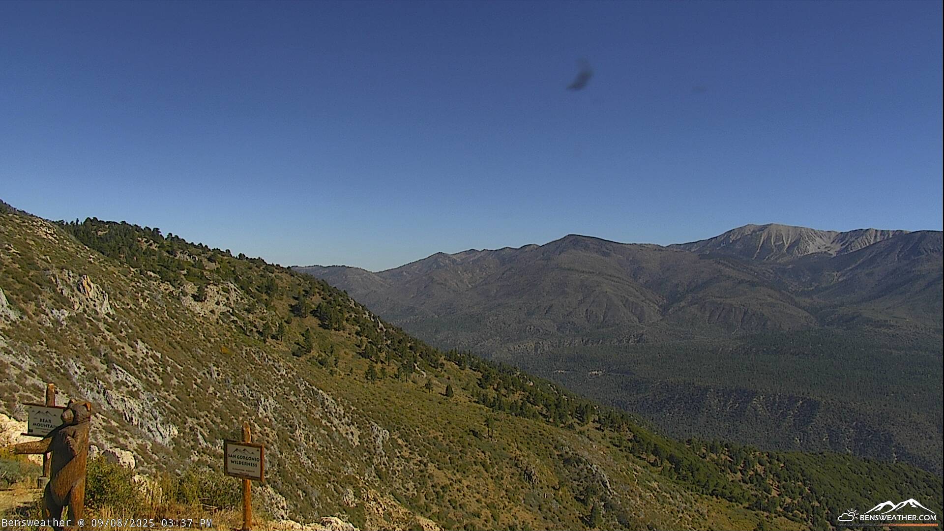
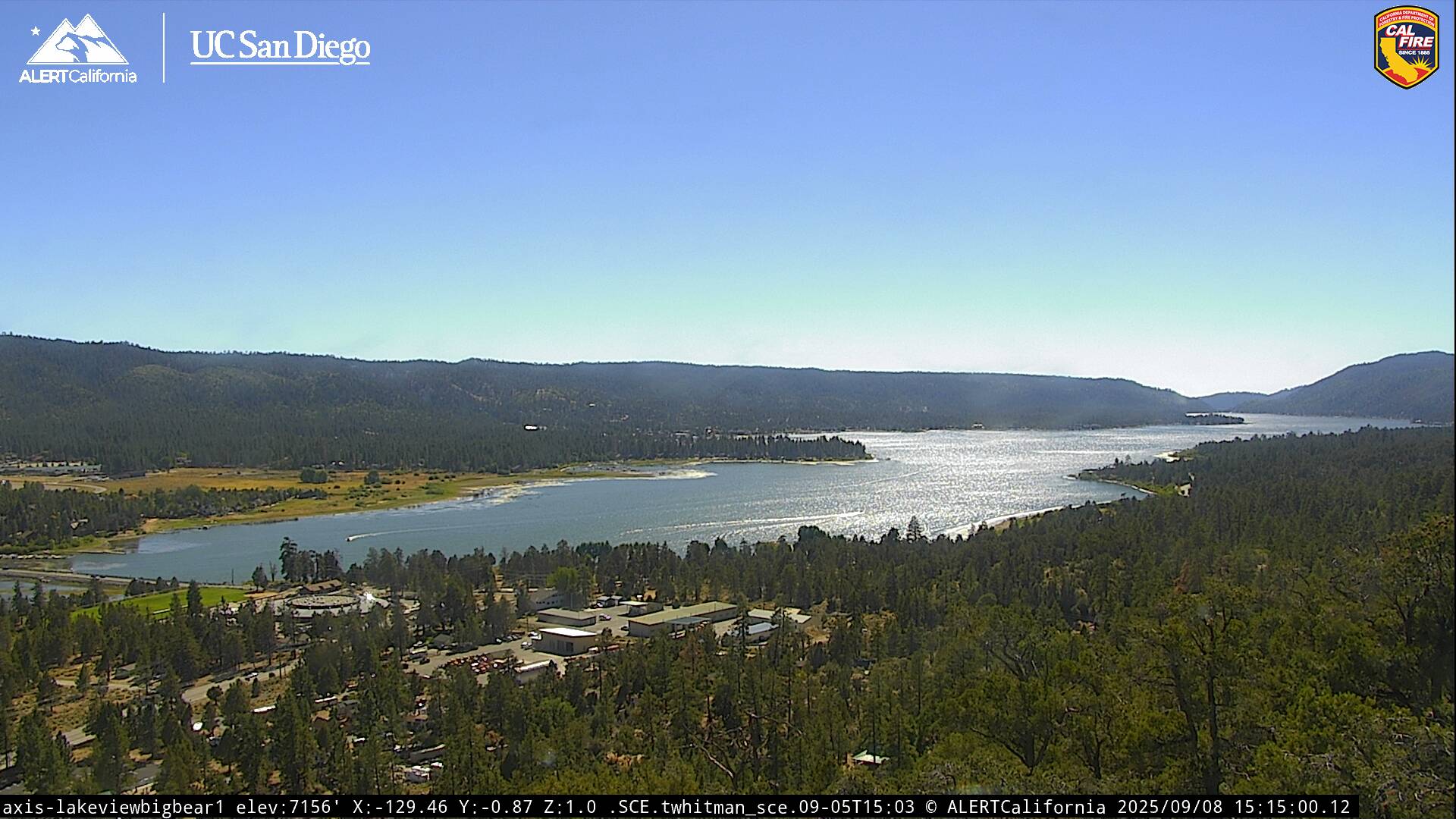
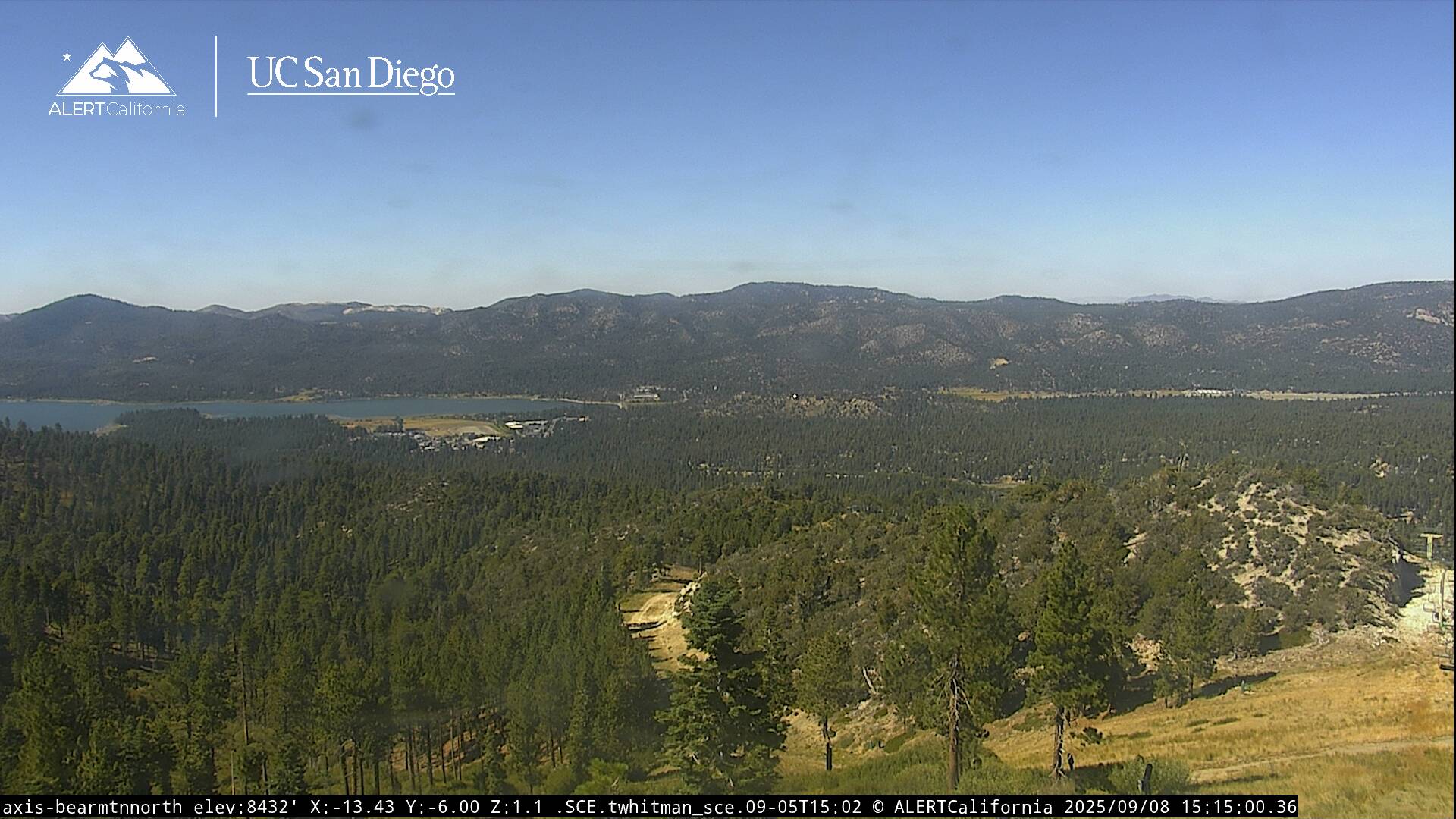
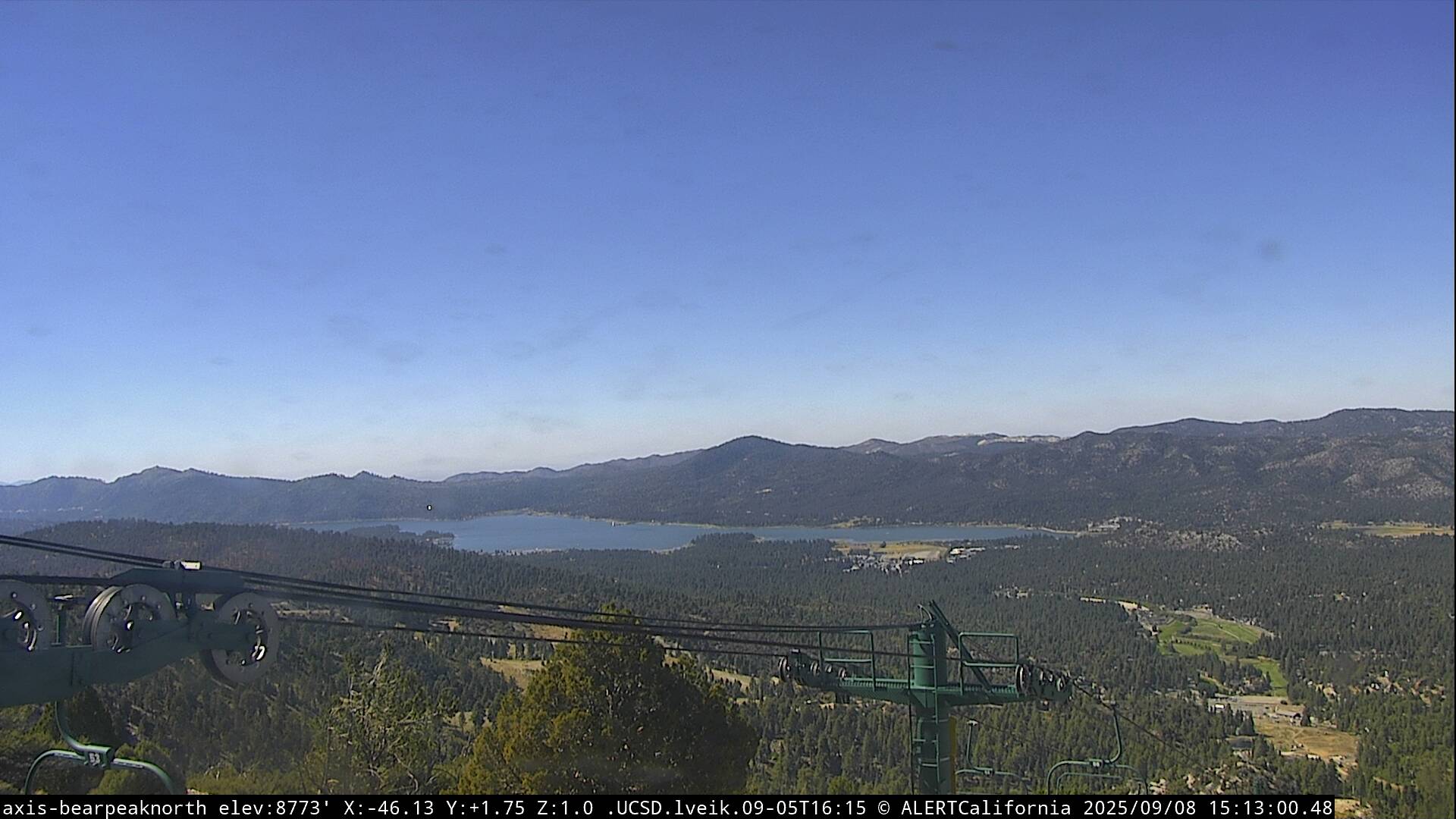
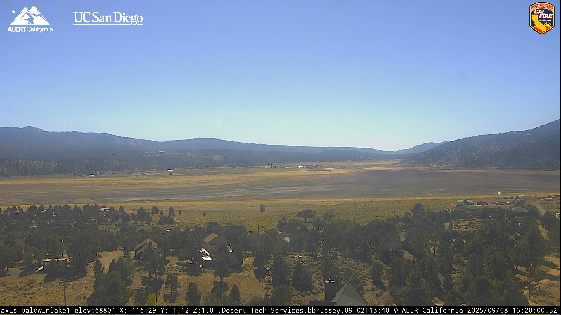
Live Cams