
Saturday Sunny |
Sunday Mostly Sunny |
Monday Sunny |
Tuesday Sunny |
Wednesday Sunny |
Thursday Sunny |
Friday Mostly Sunny |
|
| High: 87 °F | High: 86 °F | High: 86 °F | High: 86 °F | High: 86 °F | High: 87 °F | High: 89 °F | |
Tonight Mostly Clear |
Saturday Night  Partly Cloudy |
Sunday Night Mostly Clear |
Monday Night Mostly Clear |
Tuesday Night Mostly Clear |
Wednesday Night Mostly Clear |
Thursday Night Partly Cloudy |
|
| Low: 56 °F | Low: 56 °F | Low: 56 °F | Low: 55 °F | Low: 54 °F | Low: 55 °F | Low: 56 °F | |
Ben's WX Summary
- Updated: Friday @ 07:20pm
Looking at a very warm weekend ahead as temperatures remain 10 degrees above average, but unlikely to break any records. We also have some mid-level moisture around, leading to a few afternoon clouds. An isolated shower or thunderstorm cannot be entirely ruled out, especially on Sunday. Daytime highs will top out in the upper 80s through the weekend, while overnight lows cool to the 50s and 60s. Locally breezy during the afternoons with southwest winds 10-20 mph. High pressure will weaken just a bit next week to allow for some minor cooling, but still above average as the monsoon flow remains active just to our east.
| Current Conditions | Wind | Rain | Outlook | ||||||||||||||||||||||||||||||||||||
|
|
|
|
||||||||||||||||||||||||||||||||||||
| Humidity & Barometer | Snowfall | Moon | |||||||||||||||||||||||||||||||||||||
|
|
|
|||||||||||||||||||||||||||||||||||||
| UV Index | Solar Radiation | ||||||||||||||||||||||||||||||||||||||
|
|
||||||||||||||||||||||||||||||||||||||


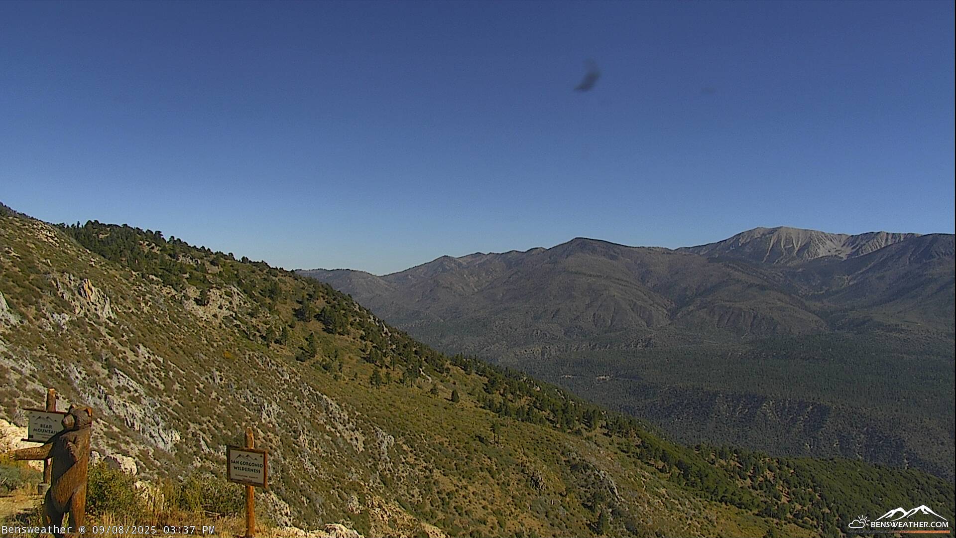
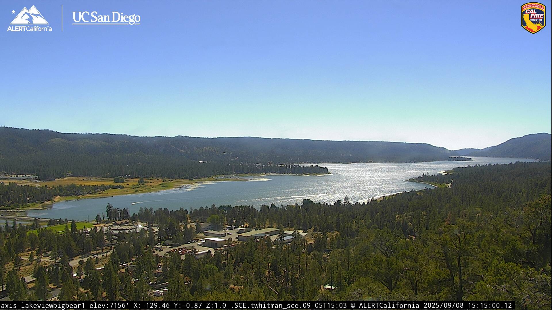
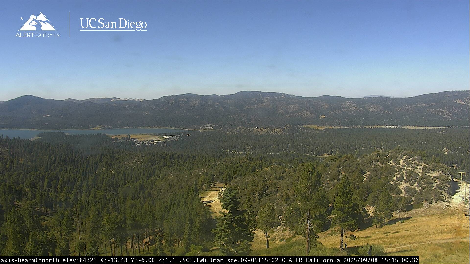
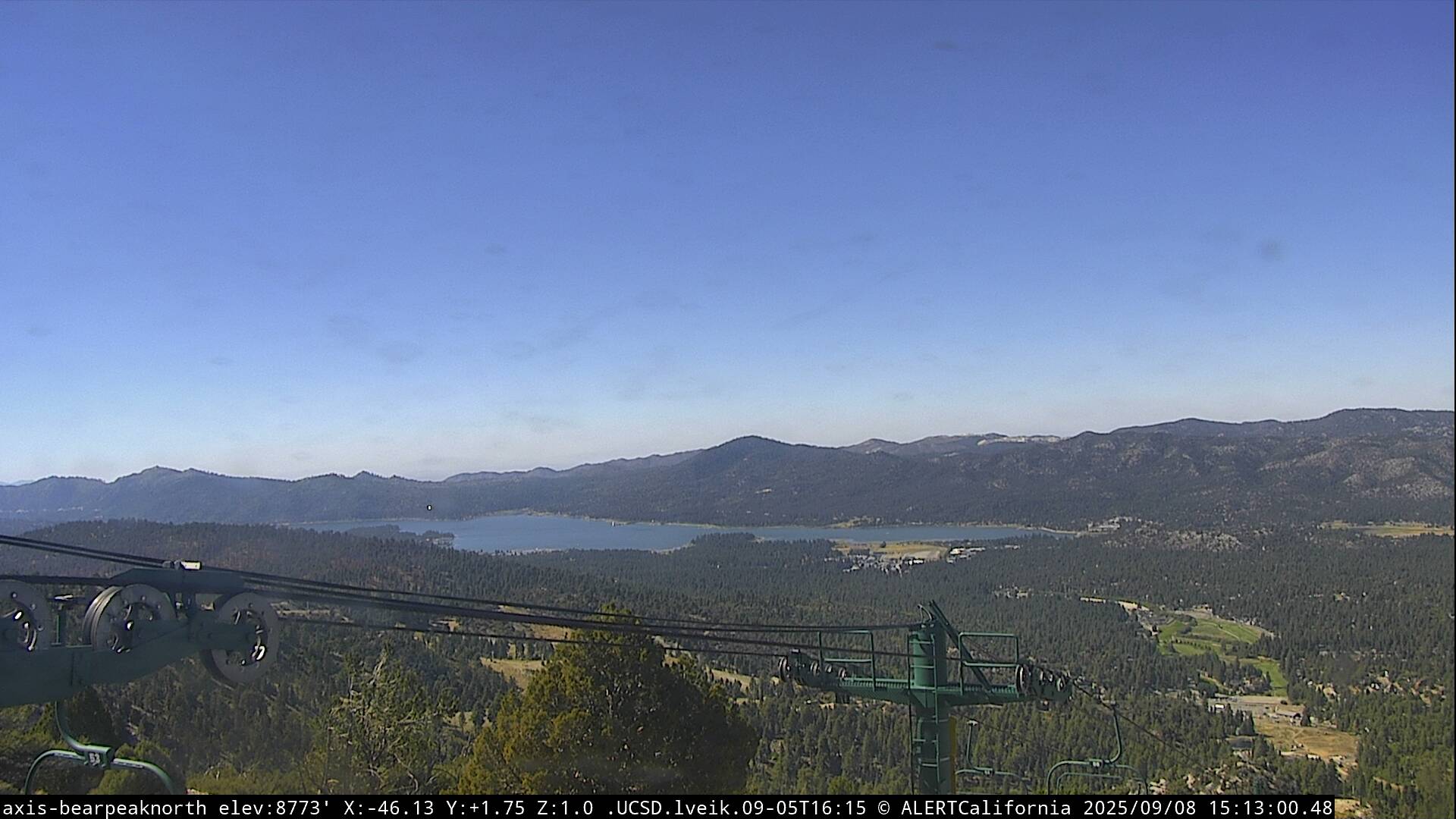
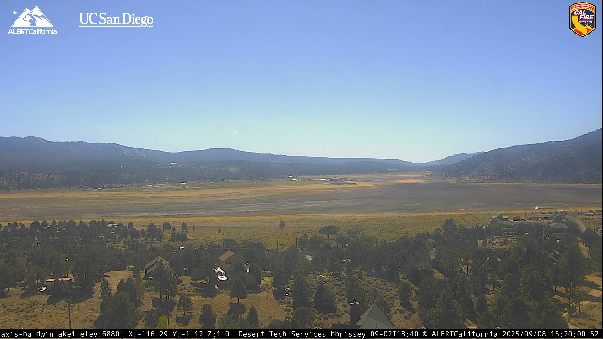
Live Cams