
Tuesday Sunny |
Wednesday Sunny |
Thursday Chance Showers And T-Storms |
Friday Chance Showers And T-Storms |
Saturday Slight Chance Showers And T-Storms |
Sunday Sunny |
Columbus Day  Sunny |
|
| High: 67 °F | High: 70 °F | High: 67 °F | High: 64 °F | High: 59 °F | High: 57 °F | High: 57 °F | |
Overnight Clear |
Tuesday Night Clear |
Wednesday Night  Mostly Clear |
Thursday Night  Chance Showers And T-Storms |
Friday Night  Slight Chance Showers And T-Storms then Partly Cloudy |
Saturday Night  Mostly Clear |
Sunday Night Mostly Clear |
|
| Low: 39 °F | Low: 42 °F | Low: 44 °F | Low: 45 °F | Low: 41 °F | Low: 34 °F | Low: 33 °F | |
Ben's Weather Summary
- Updated: Monday, Oct 06 @ 11:28pm
Looking at nice fall weather out there this week with near-normal temperatures and dry conditions, for now, that may change by the end of the week into the weekend. Expect mostly sunny skies with slightly warmer temps on Tuesday as highs reach the upper 60s, east winds continuing 10-20 mph at times. High clouds will begin to increase on Thursday as tropical moisture streams in from the south, with highs in the 60s and southerly winds 10-15 mph. Low pressure off the California coast will draw moisture from Hurricane Priscilla north into our region Friday through the weekend, bringing a chance for showers and thunderstorms at times. Cooler as highs drop into the lower 60s through the weekend with lows in the 30s and 40s. At this time, it appears the deepest moisture and heaviest rainfall will remain off to our east, but any thunderstorms that develop may produce locally heavy rain, gusty winds, lightning, and small hail. Rainfall amounts of around a quarter inch will be possible over the mountains eastward, with lesser amounts west. This moisture will move east of the area early next week as a trough pushes eastward throgh the region, this will also lead to cooler temperatures by Monday as highs drop into the 50s with lows dipping into the 20s.
| Current Conditions | Wind | Rain | Outlook | ||||||||||||||||||||||||||||||||||||
|
|
|
|
||||||||||||||||||||||||||||||||||||
| Humidity & Barometer | Snowfall | Moon | |||||||||||||||||||||||||||||||||||||
|
|
|
|||||||||||||||||||||||||||||||||||||
| UV Index | Solar Radiation | ||||||||||||||||||||||||||||||||||||||
|
|
||||||||||||||||||||||||||||||||||||||


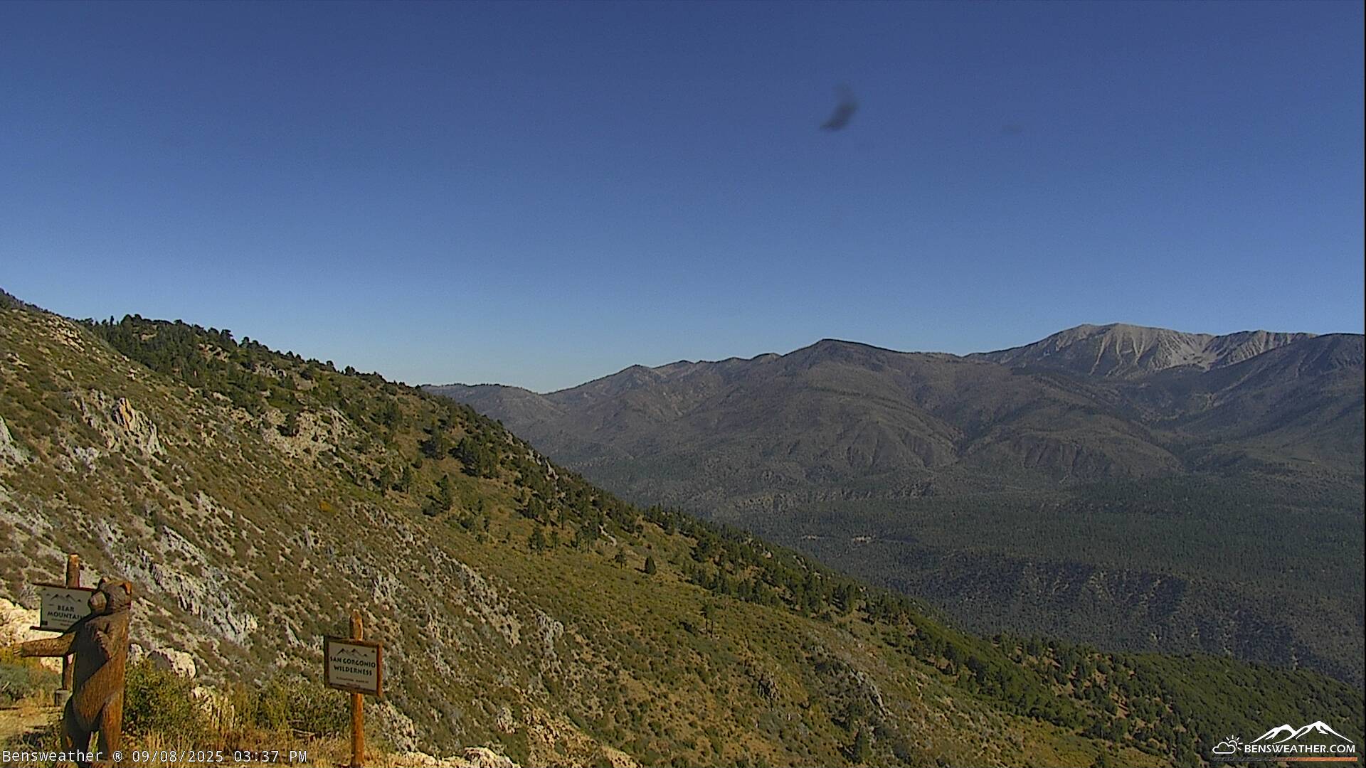
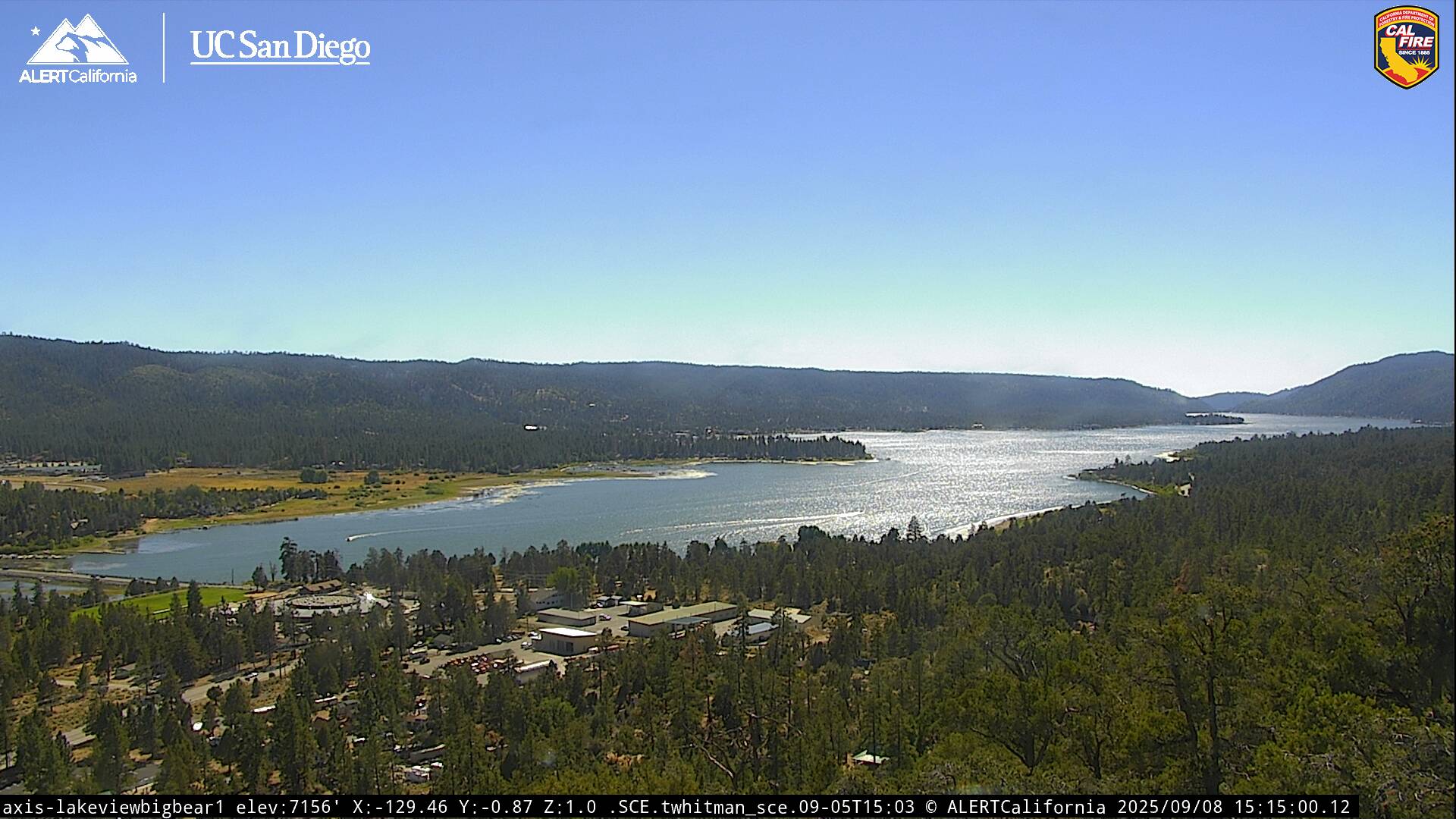
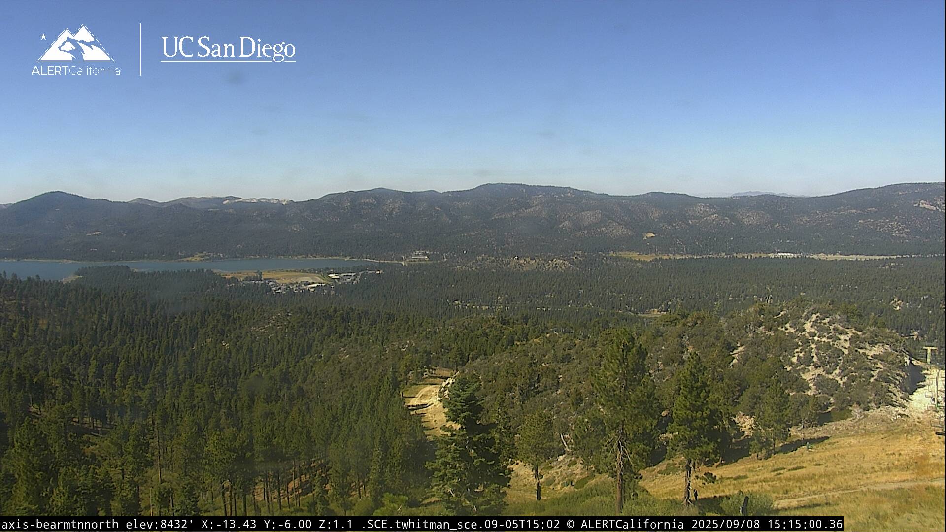
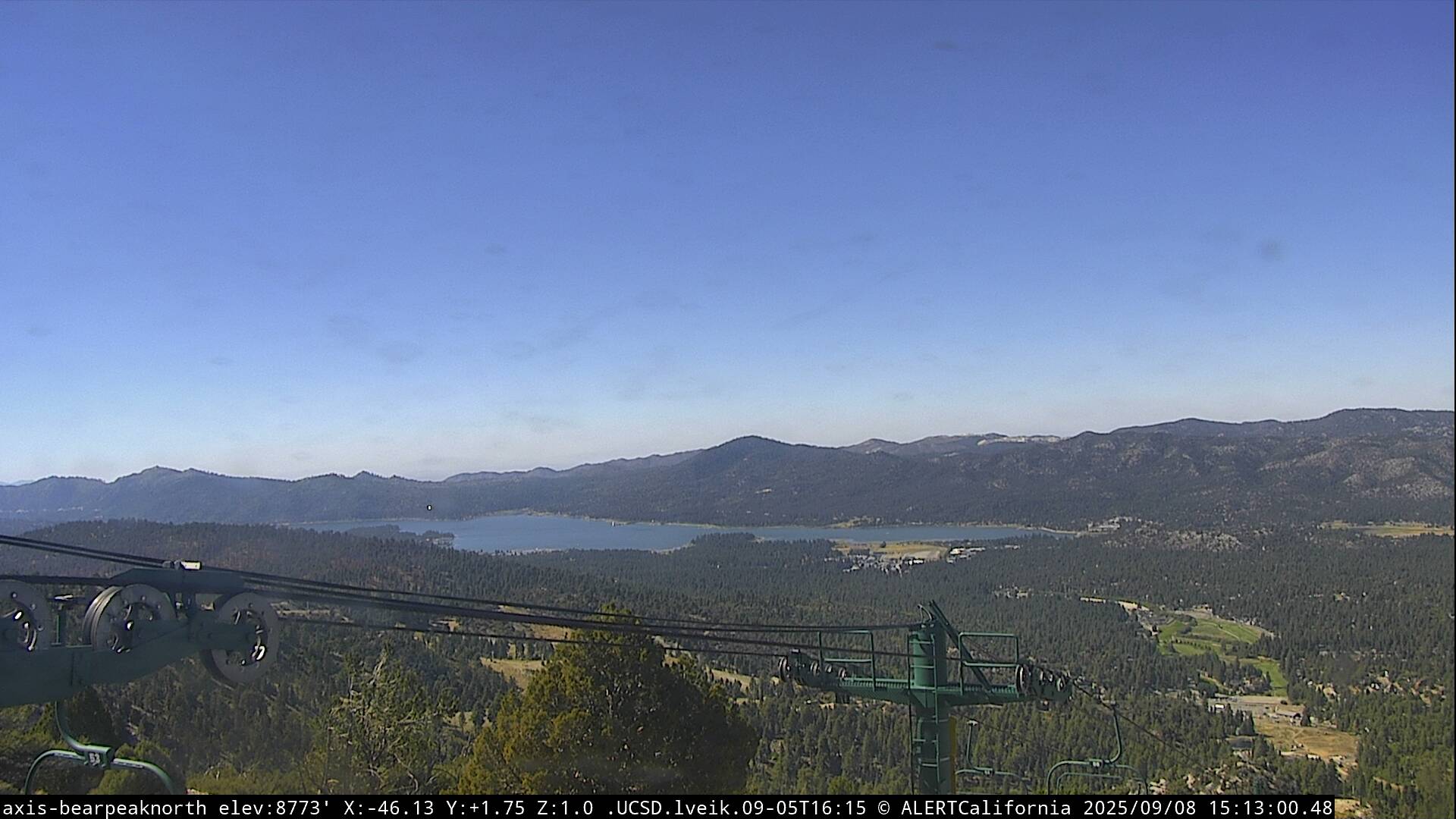
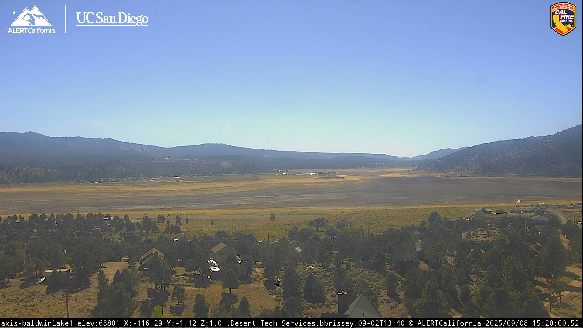
Live Cams