
Friday Sunny |
Saturday Sunny |
Sunday Sunny |
Monday Sunny |
Tuesday Sunny |
Wednesday Mostly Sunny |
Thursday Sunny |
|
| High: 87 °F | High: 89 °F | High: 87 °F | High: 87 °F | High: 86 °F | High: 85 °F | High: 86 °F | |
Overnight Mostly Clear |
Friday Night Mostly Clear |
Saturday Night Mostly Clear |
Sunday Night Mostly Clear |
Monday Night  Partly Cloudy |
Tuesday Night Partly Cloudy |
Wednesday Night Mostly Clear |
|
| Low: 58 °F | Low: 58 °F | Low: 58 °F | Low: 58 °F | Low: 55 °F | Low: 54 °F | Low: 54 °F | |
Ben's WX Summary
- Updated: Thursday @ 05:03pm
The heat is definitely on out there with temperatures running nearly 10 degrees above average, which is a lot when our average high is 80°! Expect more of the same through the weekend; factor in some humidity and the heat index will be well into the 90s. Do what ya can to stay cool and be sure to hydrate! Looking at clear skies this evening with pretty mild temps as our low drops to around 60 degrees. Expect another warm one on Friday as highs reach the upper 80s, we might even see a few 90-degree readings, especially eastern areas/Baldwin Lake! A minor intrusion of monsoon moisture may also spark an afternoon shower through the weekend, maybe a rumble of thunder, but we're not expecting a widespread outbreak of thunderstorms. Daytime highs will top out in the upper 80s over the weekend with overnight lows in the upper 50s to lower 60s. Temperatures will start to come down next week, but still slightly above average as we keep an eye on the monsoon flow.
| Current Conditions | Wind | Rain | Outlook | ||||||||||||||||||||||||||||||||||||
|
|
|
|
||||||||||||||||||||||||||||||||||||
| Humidity & Barometer | Snowfall | Moon | |||||||||||||||||||||||||||||||||||||
|
|
|
|||||||||||||||||||||||||||||||||||||
| UV Index | Solar Radiation | ||||||||||||||||||||||||||||||||||||||
|
|
||||||||||||||||||||||||||||||||||||||


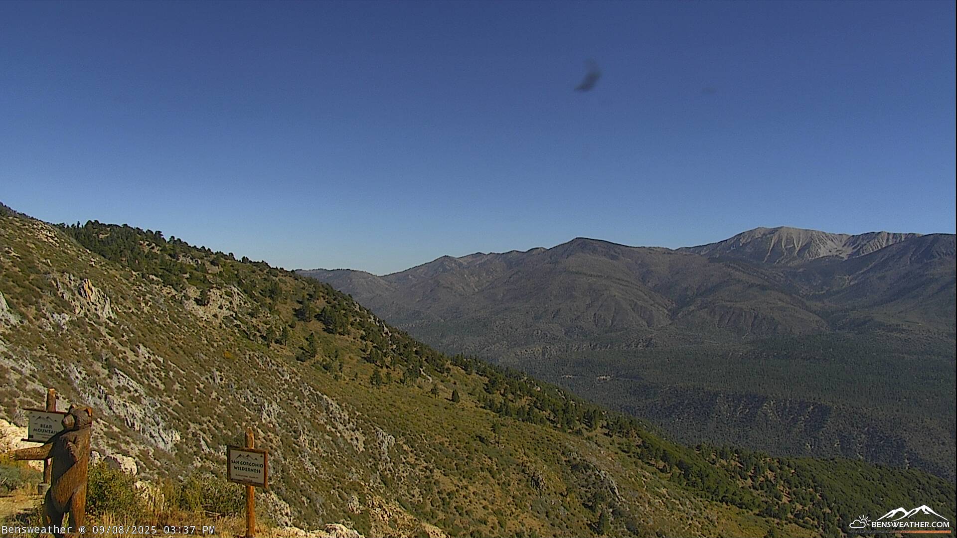
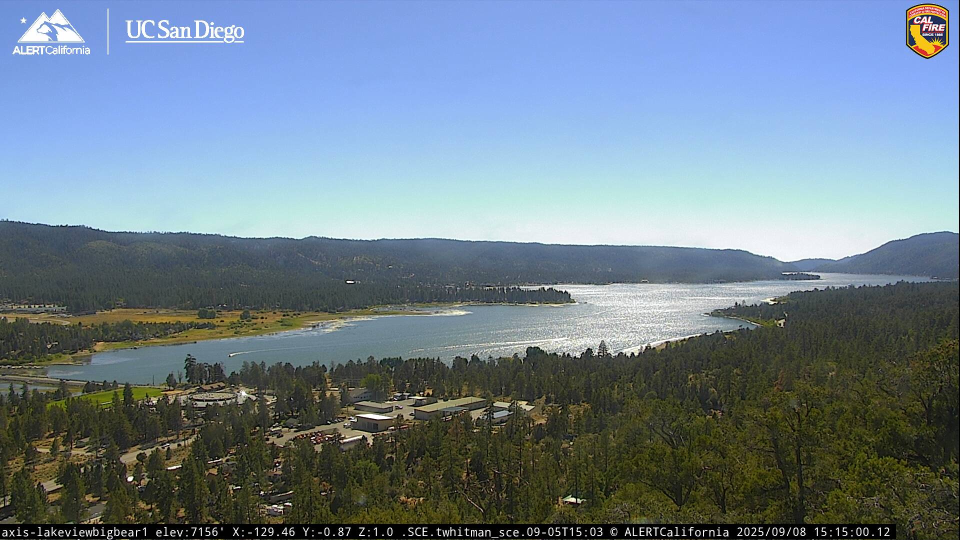
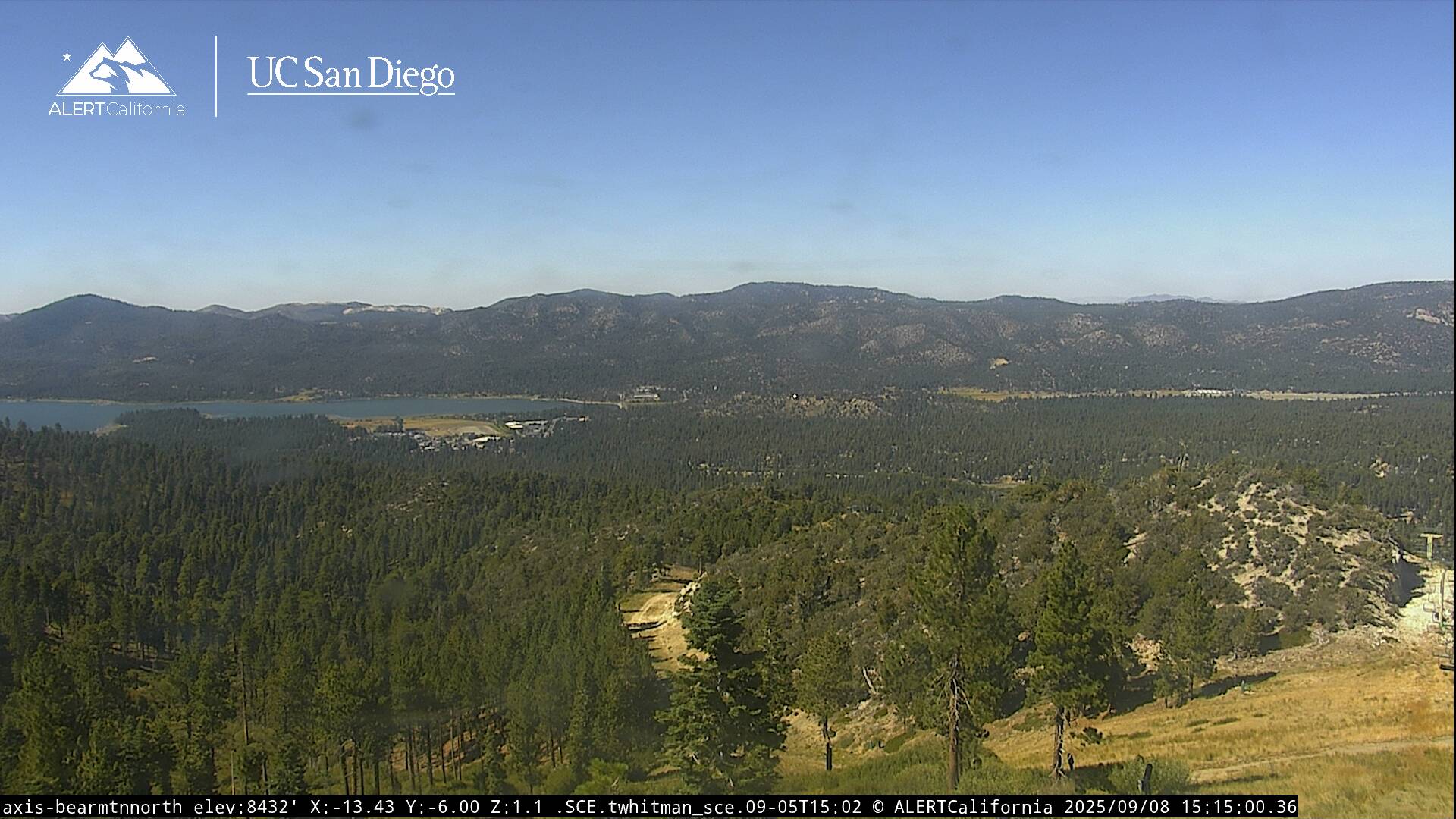
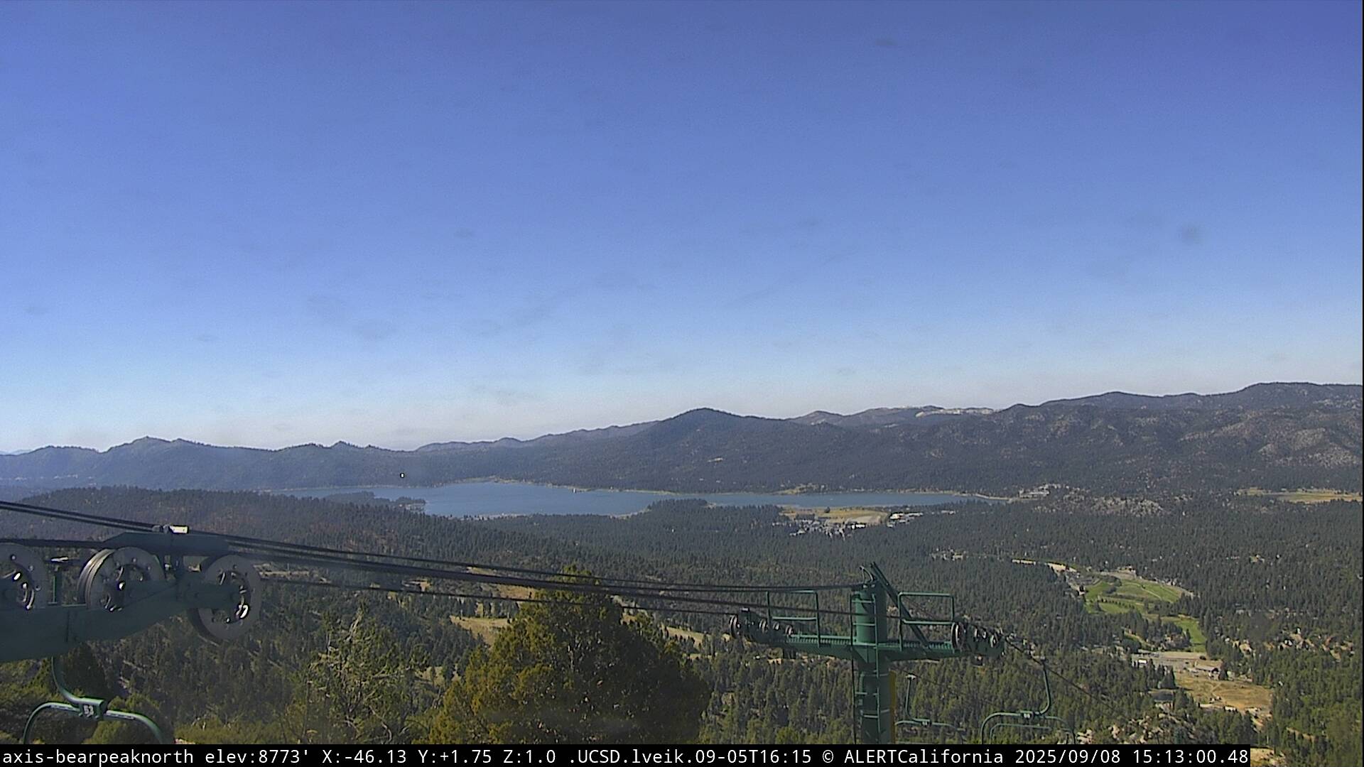
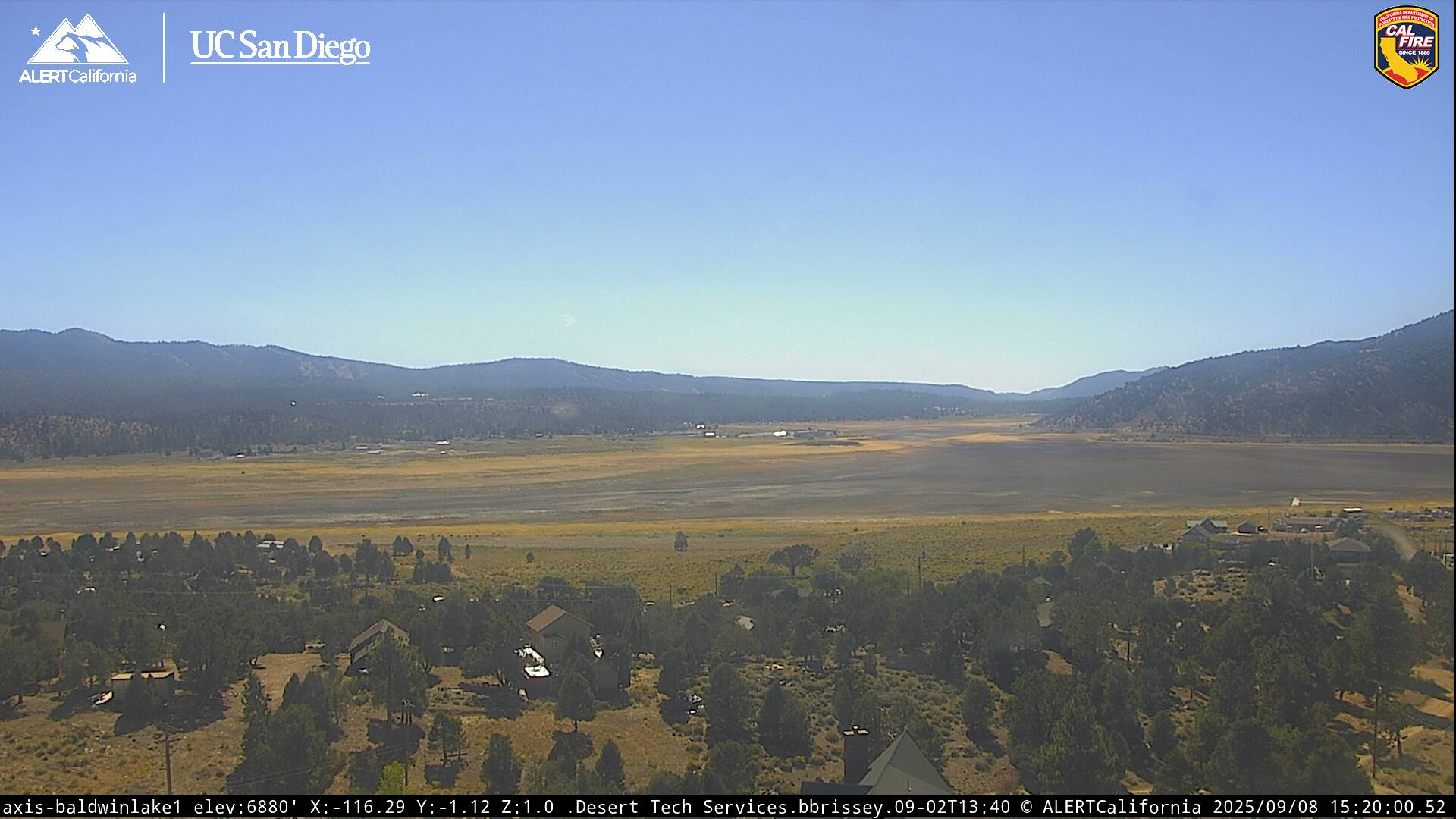
Live Cams