Benseather.com Forecast
|
|
Bensweather.com Forecast Updated: Wednesday, Jul 02 @ 08:40pm
|
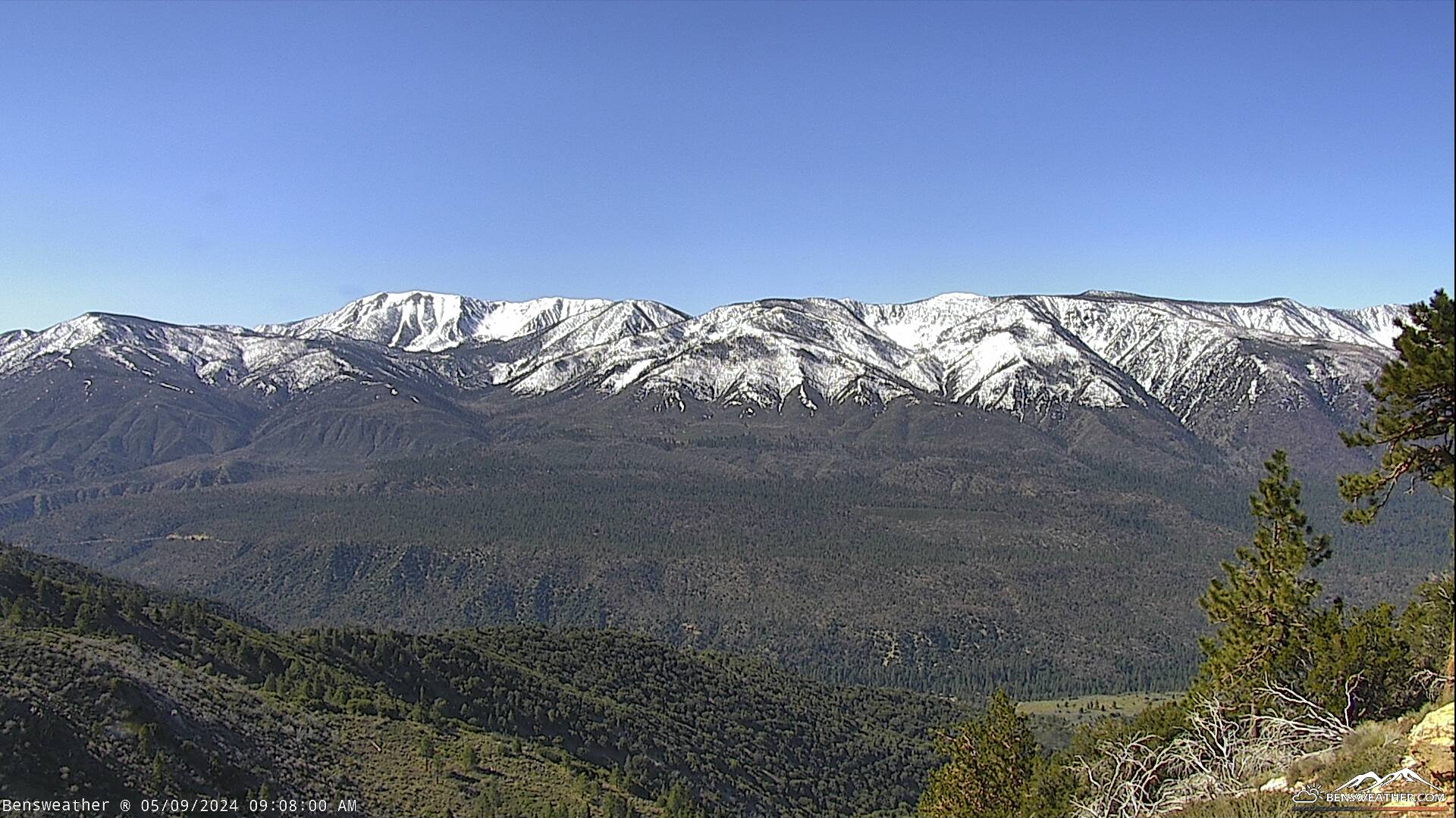
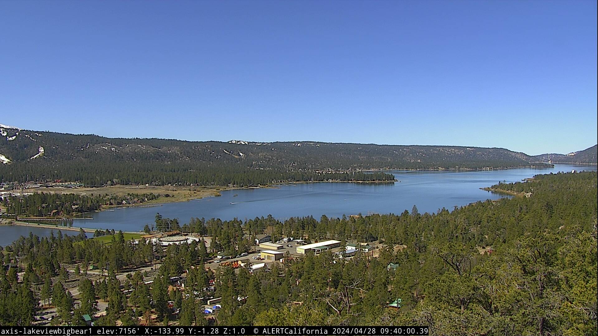
| A weak upper-level trough will push through our area on Thursday, generating gusty west winds during the afternoon and keep our temperatures near average. High pressure will slowly strengthen over the Independence holiday weekend, leading to warm and dry conditions into next week. As this ridge sets up over the Four Corners, we may tap into some monsoonal moisture later in the week. Expect partly cloudy skies on Thursday with highs in the upper 70s, southwest winds continuing 10-20 mph during the afternoon. Our weather looks pretty perfect for July 4th-Friday, highs will top out in the upper 70s, just shy of the 80 mark. We will also experience gusty west winds 15-25 mph during the afternoon and evening, tapering off after sunset. Conditions look perfect for viewing the fireworks over the lake, a little breezy with west winds to 10 mph and temperatures in the mid-50s around 9 pm. Fair and warmer over the weekend as highs climb back into the lower 80s, reaching the mid-80s by the middle of next week.
|
|